Understanding the Significance of Unified Operational Awareness in Critical Missions
In the realm of public safety and critical infrastructure management, a game-changer has emerged: the Common Information Picture (CIP). This innovative technology unifies and centralizes disparate data sources into a single, real-time, map-based visualization platform, transforming decision-making processes for the better.
The CIP serves as a collaborative hub for various agencies, including police, fire, EMS, city management, and private businesses, by integrating information while enforcing access permissions and privacy compliance. This collaboration enables coordinated responses across jurisdictions and sectors.
One of the key advantages of CIP is real-time operational awareness. Live data from radios, cameras, 911 calls, sensors, and unmanned aerial systems are displayed cohesively, assisting decision-makers in prioritizing resources, anticipating threats, and monitoring ongoing operations.
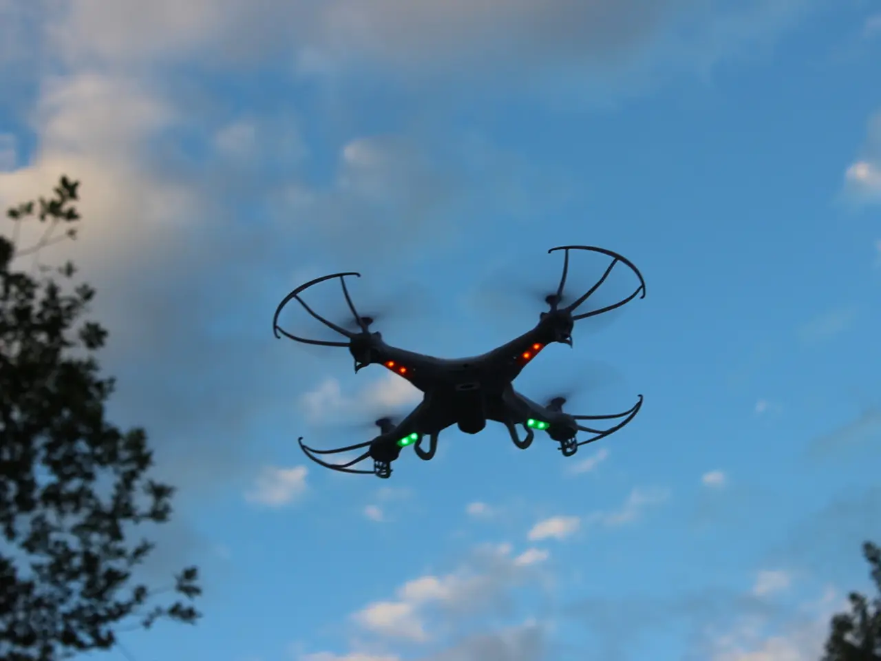
Technologies like drones and drone-in-a-box solutions further enhance the CIP by providing live aerial data feeds, offering comprehensive, on-demand surveillance and situational analysis from vantage points inaccessible by ground units. Drones, particularly drone-in-a-box systems, offer persistent, automated aerial surveillance that can instantly deploy, feed real-time video, and map dynamic scenarios into the CIP.
The CIP also supports enhanced response efficiency by triggering workflows, incident dispatch, and virtual collaboration, thereby speeding up decision cycles critical during emergencies.
Privacy and regulatory compliance are paramount, and technologies like geofencing and flight planning integrated with CIP ensure drone operations respect privacy boundaries, legal restrictions, and airspace management, reducing risks of unauthorized surveillance.
Advanced Unmanned Aerial System (UAS) defense stacks integrated with CIP reduce false alarms and streamline airspace control, enabling small teams to manage complex environments efficiently.
The CIP platform also offers features that enhance communication, automate responses, and provide secure sharing options. Users can make screenshots, annotate them, and communicate with other team members through a built-in chat.
In the future, the CIP platform could trigger a series of automated actions in response to specific events, such as alerting security personnel and tracking individuals of interest. The platform can also automate responses based on AI-driven insights, such as directing drones to follow vehicles with outstanding warrants.
During inspections, drones equipped with AI-powered image recognition can detect signs of wear or hazards in facilities like nuclear power plants. Data from drones is integrated into the Live Operations dashboard for real-time assessment of a facility's condition.
Remotely controlling drones and their cameras from a central location, such as a command center, is also possible with the CIP platform. By leveraging this technology, organizations can ensure safe, secure, efficient, and compliant drone operations in high-stakes environments.
In conclusion, the Common Information Picture (CIP) technology empowers public safety agencies and critical infrastructure managers to make better-informed, faster, and more coordinated decisions by leveraging a shared, technology-enriched situational picture enhanced by drones and automated airborne surveillance technologies.
The CIP platform integrates information from various agencies, including police, fire, EMS, city management, and private businesses, serving as a collaboration hub while enforcing access permissions and privacy compliance.
By using drone technology, the CIP offers real-time aerial data feeds, providing comprehensive, on-demand surveillance and situational analysis from inaccessible vantage points.
Privacy and regulatory compliance are maintained by integrating geofencing and flight planning with the CIP, ensuring drone operations respect privacy boundaries, legal restrictions, and airspace management.
The CIP platform automates responses based on AI-driven insights, such as directing drones to follow vehicles with outstanding warrants and detecting signs of wear or hazards in facilities like nuclear power plants using drones equipped with AI-powered image recognition.


