Seafloor Inundation Exceeds Official Reports, Unrecorded According to New Findings
In a groundbreaking study led by Miyuki Hino at the University of North Carolina, small, inexpensive, open-source sensors have been found to be more accurate than traditional tide gauges in measuring flooding in coastal towns.
These land-based sensors, costing a few hundred dollars each, are proving to be a valuable tool for municipalities and even high schools, as they can be built with basic tools and programming knowledge.
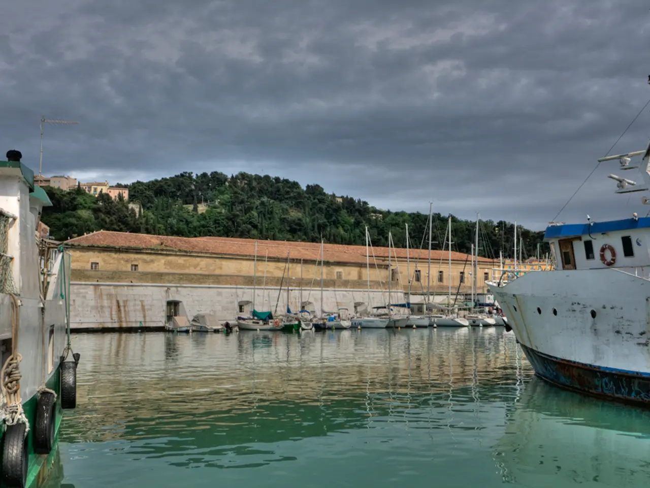
The study, conducted in Beaufort, North Carolina (only about 0.6 miles from a tide gauge), found that the land-based sensor detected flooding events that the tide gauge missed, highlighting the local nature of flooding influenced by factors like rainfall, drainage efficiency, groundwater, and terrain slope.
Researchers found that sensors installed in storm drains or on land provide high-frequency detection of floods, revealing many more flooding days than NOAA or National Weather Service (NWS) thresholds based on tide gauge data. For example, the Sunny Day Flooding Project documented dozens to over a hundred flood days annually in nearby communities using these land sensors, while traditional tide gauge methods significantly underestimated the frequency.
The problem with tide gauges is that they do not accurately capture how often flooding takes place or how long those floods last. Tide gauges are spaced miles apart and do not factor in rain or infrastructure failures. They are installed along coastlines or on ocean platforms and make a continuous record of water height, but they measure water levels in the ocean or estuaries, not on land.
The study's co-author, Katherine Anarde, states that sea-level rise is causing flooding in coastal areas outside of extreme storms like hurricanes. In Beaufort, the sensors documented flooding on 100 days in a single year, while the tide gauge only picked up nine. Even when the gauge's threshold was lowered to match the road's elevation, the land sensor documented floods that the tide gauge didn't.
In Sea Level, a rural, low-lying hamlet, the sensors documented flooding on 128 days, a stark contrast to the underestimated flooding frequency reported by traditional tide gauge methods. Flooding in these areas can sometimes last longer than 15 hours and can cut off roads, school buses, and emergency services.
Miyuki Hino, the leader of the study, says that every community is unique, and more accurate data can help communities assess the best response strategy for them, now and in the future. The study highlights the need for more eyes on the ground, implying the need for more sensors and more honesty about the extent of the flooding problem.
More accurate data on coastal flooding can inform resource investment in building more resilient communities. Land-based sensors provide a more precise and relevant measurement of flooding incidence and extent than tide gauges, which are better suited for general sea level monitoring but miss many localized flood events due to their placement and measurement method.
- Miyuki Hino, the researcher, suggests that every community is unique, and more accurate data can help them assess the best response strategy for their unique situations, now and in the future, aiding in more resilient community development.
- Climate change, particularly sea-level rise, is causing flooding in coastal areas outside of extreme storms like hurricanes, as evidenced by the land-based sensors that documented flooding on 100 days in a single year in Beaufort, while the tide gauge only picked up nine.
- The study highlights the need for more eyes on the ground, implying the need for more sensors, as they are proving to be a valuable tool for municipalities and even high schools, contributing to the understanding and mitigation of climate change and its environmental impacts.
- These land-based sensors, costing a few hundred dollars each, are installed in storm drains or on land and provide high-frequency detection of floods, revealing many more flooding days than NOAA or the National Weather Service (NWS) thresholds based on tide gauge data.
- The future of robotics and technology might hold innovative solutions for climate change, such as these affordable, open-source sensors that contribute significantly to our understanding of the Earth's climate change and its impacts on the environment, particularly flooding incidents.
- Science, specifically research in coastal ecology and environmental science, is evolving with the advancements in robotics and technology, leading to the development of more accurate, accessible, and affordable tools like these land-based sensors that can measure flooding more accurately than traditional tide gauges.


