Modeling for Land Cover Classification Differentiation
The Radiant Earth Foundation, a U.S.-based nonprofit organization, has created an impressive dataset of satellite images in collaboration with the European Space Agency. This dataset, primarily accessible through Radiant MLHub, offers a wealth of information for researchers and environmental enthusiasts alike.
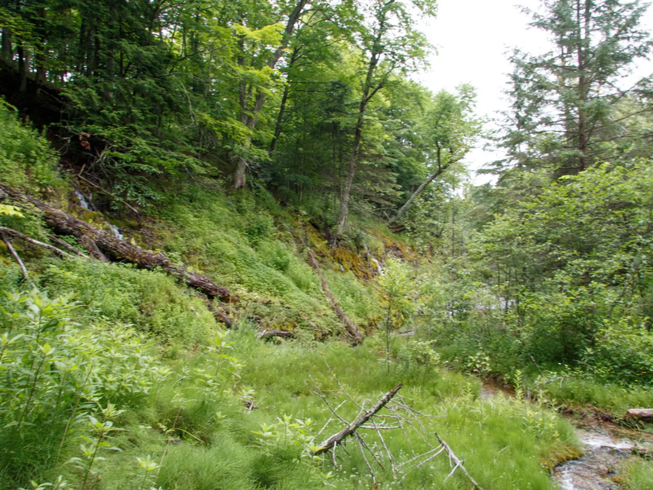
The dataset includes 8,941 satellite images, meticulously categorised into seven types of land cover: water, natural bare ground, artificial bare ground, woody vegetation, cultivated vegetation, semi-natural vegetation, and permanent snow and ice. This diverse range of categories allows for a comprehensive understanding of the global landscape.
One of the key applications of this dataset is the tracking of urbanization and deforestation. Changes in these areas can be located using the dataset, providing valuable insights into global environmental trends.
To access this valuable resource, you first need to visit the Radiant MLHub website. Registration is required to download or use the datasets. Once registered and logged in, you can browse or search for land cover classification datasets. Radiant MLHub offers curated datasets, often including Sentinel-2 or Landsat imagery with corresponding land cover labels.
The data are offered in analysis-ready formats and can be downloaded directly or accessed via APIs or cloud platforms. It's worth noting that the datasets are designed to be compatible with common earth observation platforms like Google Earth Engine.
Using Radiant Earth datasets requires familiarity with remote sensing data formats and geographic information system (GIS) tools. For more concrete direct links or API instructions, visiting the Radiant Earth Foundation’s official site or GitHub repository will be the next step.
This dataset can be used for various research purposes, including but not limited to, tracking urbanization and deforestation. The images come with human annotations specifying the type of land cover identified, making it easier for researchers to train models to locate changes in the global landscape.
The Radiant Earth Foundation's satellite image dataset is credited to the European Space Agency. The images used in this article are courtesy of Flickr user European Space Agency.
[1] USGS EarthExplorer (Landsat) [3] Copernicus Browser (Sentinel-2) [4] Google Earth Engine
- The diversity in the Radiant Earth Foundation's satellite image dataset, accessible through Radiant MLHub, supports machine learning and AI research, particularly in data-and-cloud-computing and environmental-science, allowing for the development of models to track urbanization and deforestation.
- This dataset, consisting of 8,941 images, categorized into seven types of land cover, is a valuable resource for researchers in the field of data science and technology, as it offers a comprehensive understanding of the global landscape.
- The Radiant Earth Foundation's dataset, which includes Sentinel-2 or Landsat imagery with corresponding land cover labels, can be downloaded directly or accessed via APIs or cloud platforms like Google Earth Engine, making it more accessible for researchers.
- With an emphasis on remote sensing data formats and geographic information system (GIS) tools, the Radiant Earth Foundation's dataset can be used for a variety of research purposes, such as urban planning, climate studies, and ecological research, leveraging the power of AI and machine learning for scientific advancement.


